Projects
How Nahanni Butte Dene Band Secured Its Future Through Advanced Climate Modeling
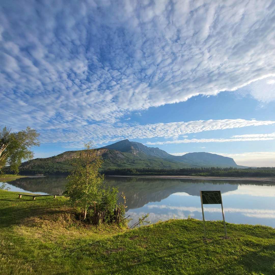
Nestled at the confluence of the South Nahanni and Liard Rivers, the Nahanni Butte Dene Band holds a vital position as the gateway to the Nahanni National Park Reserve. While the community itself is tight-knit, its geographic location carries immense regional economic and logistical weight. The surrounding infrastructure anchors a critical northern transportation corridor that hundreds of regional travelers and commercial logistics networks rely on annually.
To safeguard their traditional territory, preserve cultural continuity, and drive long-term economic growth, leadership recognized the urgent need to confront escalating climate-driven threats. Refusing full-scale relocation, the Nahanni Butte Dene Band engaged Dillon to support them on a journey toward comprehensive flood and erosion resilience.
The Challenge
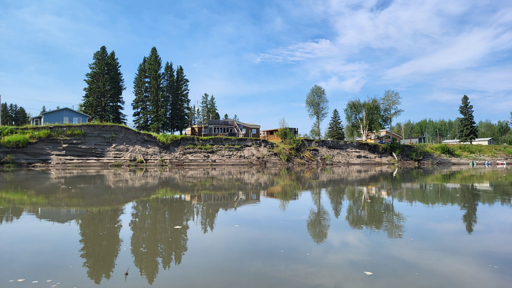
The project site presented an extraordinarily complex hydraulic environment. Flooding in Nahanni Butte is not a simple riverbank overflow; it is heavily driven by intense backwater effects from the massive Liard River, as well as the adjacent South Nahanni River. Capturing these lateral flow dynamics and the braided channel morphology across a sprawling 54-square-kilometer area demanded rigorous engineering precision.
Compounding this geographic complexity was a lack of baseline data. When the historic 2012 flood of record devastated the region, there was no local hydrometric gauge to capture the flows. Without gauge data, standard engineering models faced challenges with site-specific calibration, threatening the validity of future hazard mapping.
On a socio-economic level, the stakes were incredibly high. The 2012 flood had previously displaced the entire local population and washed out major highways, disrupting the broader northern economy. The community needed an undeniable technical foundation to unlock federal funding, protect life-sustaining infrastructure, and maintain their sovereignty without abandoning their home.
The Solution
Dillon was engaged by the Nahanni Butte Dene Band to execute an innovative, two-phased engineering and community-led strategy. Phase 1 established an immediate flood and erosion action plan to solidify emergency preparedness protocols, funded by the Federal Climate Change Preparedness in the North Program Phase 2 expanded into deep technical modeling to generate regulatory-compliant flood hazard maps under the Federal Flood Hazard Identification and Mapping Program (FHIMP).
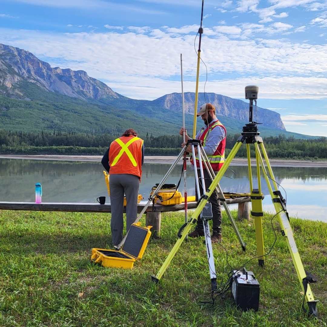
To overcome the lack of historical gauge data, the team took a novel approach – integrating community-provided evidence directly into the engineering model. Local residents provided oral histories and photographs of the 2012 flood. Engineers then surveyed these physical landmarks to establish precise high-water marks, seamlessly blending lived experience with advanced analytics. When low water levels blocked survey boats, the team adapted by deploying drone-based aerial surveys to map exposed banks, merging the data with deep-channel bathymetry to build a continuous, high-resolution digital elevation model (DEM).
The core technical engine utilized a sophisticated two-dimensional (2D) HEC-RAS hydraulic model. By constructing a variable computational mesh, the team balanced extreme detail in high-risk zones with overall computational efficiency. To future-proof the community, Dillon partnered with Heron Hydrologic to conduct a robust climate change sensitivity analysis using the Raven hydrologic framework. This framework simulated complex watershed responses against multiple emissions scenarios (SSP2-4.5 and SSP5-8.5) up to the year 2100, identifying that cool, wet future conditions would drive higher snowpack accumulation and elevate peak hydraulic risks.
Simultaneously, the project established a community-led monitoring program. Local staff were trained to utilize digital data collection tools for weekly river monitoring. This kept economic benefits within the community and built long-term operational autonomy.
“By weaving traditional knowledge directly into advanced 2D hydraulic models, the project team validated engineering science against the lived experiences of the community.”
Meggie Letman, Water Resources Engineer, Dillon
The Results
The collaboration delivered an unprecedented technical win, successfully calibrating the 2D hydraulic model to within 0.01 meters of historical 2012 flood observations. This incredible accuracy provided the regulatory compliance needed to remove major barriers to future community development and secure federal infrastructure funding.
Instead of proposing a cost-prohibitive, blanket engineering fix, a six step action plan with a mitigation prioritized mitigation framework was developed to maximize capital efficiency. The action plan includes structural and non-structural mitigation and preparedness measures:
- Emergency planning, to improve outcomes when disaster strikes
- Seeking support from external agencies to access remote sensing and flood forecasting where possible
- Smart land use planning, to make good use of the areas that are less susceptible to flooding and erosion
- Prioritizing structures at risk, to raise or relocate community and residential structures, with priority to essential services and emergency shelters.The community structures were separated into three tiers, allowing the community to strategically protect people and minimize service disruption:
- Tier 1: (Community Gathering and Emergency Response Spaces)
Prioritizes immediate emergency response spaces to safeguard human life - Tier 2: Critical Services and Infrastructure (Life-Sustaining Infrastructure)
Fortifies critical assets, (including the local health center and power plant, targeting long-term structural mitigation), such as elevating residential homes and constructing community-scale dykes - Tier 3: Residential and Other Structures
- Considering flood and erosion protection measures, which would use a dyke or a riprap apron to strengthen the shoreline and keep flood waters out
- Improving local drainage, to assist with recovery after a flood
The impact of this framework extends far beyond engineering metrics. It protects the local supply chain by securing the Nahanni Butte Inn and Store, which houses vital food storage. It stabilizes a transportation corridor, safeguards shoreline tourism assets, and directly supports the self-determination of the Nahanni Butte Dene Band, proving that northern communities can successfully adapt and thrive on their own terms.
By fusing the predictive engineering of tomorrow with the deep-rooted knowledge of yesterday, the Nahanni Butte Dene Band hasn’t just protected their infrastructure – they have secured their sovereignty and rewritten the blueprint for northern climate resilience.