
Flood Line Mapping Solutions
Flooding has become one of the most critical challenges facing Canadian infrastructure.
As leaders in hydrologic and hydraulic engineering, we partner with municipalities and government agencies to map, analyze, and mitigate risk across riverine and coastal environments.
Our licensed engineering team delivers the detailed flood extent and hazard maps essential for resilient infrastructure planning, emergency preparedness, and future development decisions. Beyond the technical data, we excel at translating complex engineering into clear, accessible insights for clients and the public alike. Let’s protect your community together.
Our Services
- Detailed Assessments
- Advanced Modeling
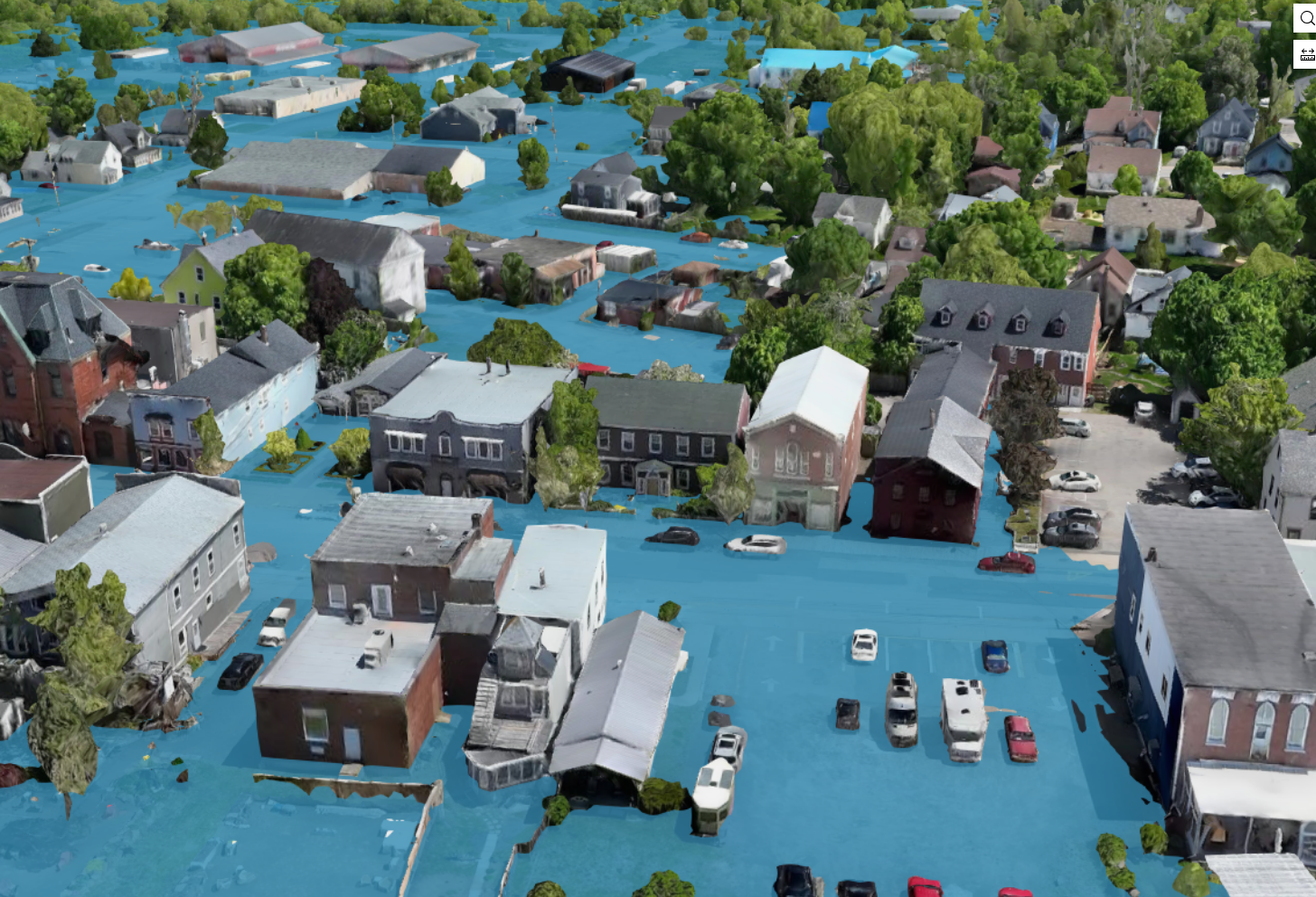
- Flood Scenario Analysis
- Considering Flood Mechanisms
- Climate Change Integration
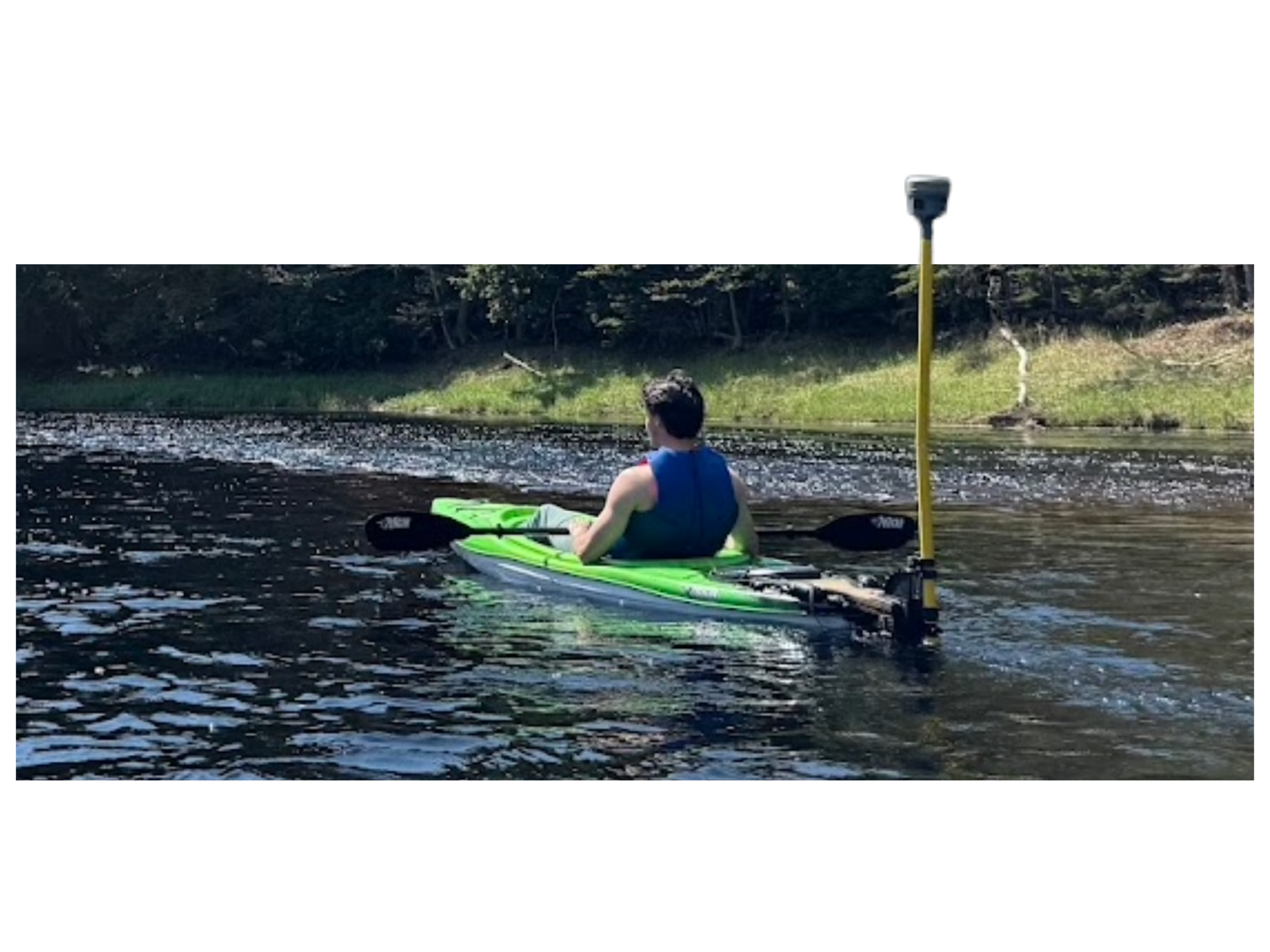
- Comprehensive Data Collection
- Stakeholder Engagement
- Adherence to Standards
Spotlight Projects
Explore our recent success stories through this interactive ArcGIS StoryMap.
Ready to Get Started?
Our experts are here to help you take the next step.